

MARGINALIA
2025
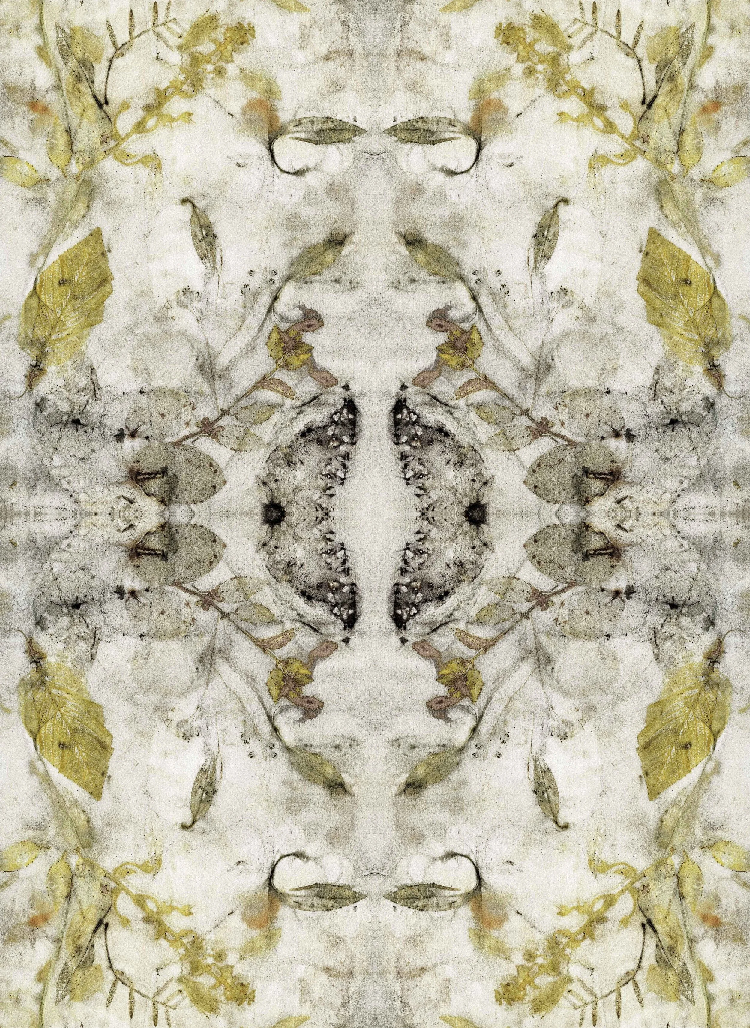
A research-based project exploring cartography as a relational system that constructs meaning across territory, water, and ecological systems. Moving beyond its function as an instrument of orientation, mapping is approached as a dynamic process shaped by power, memory, and environmental transformation.
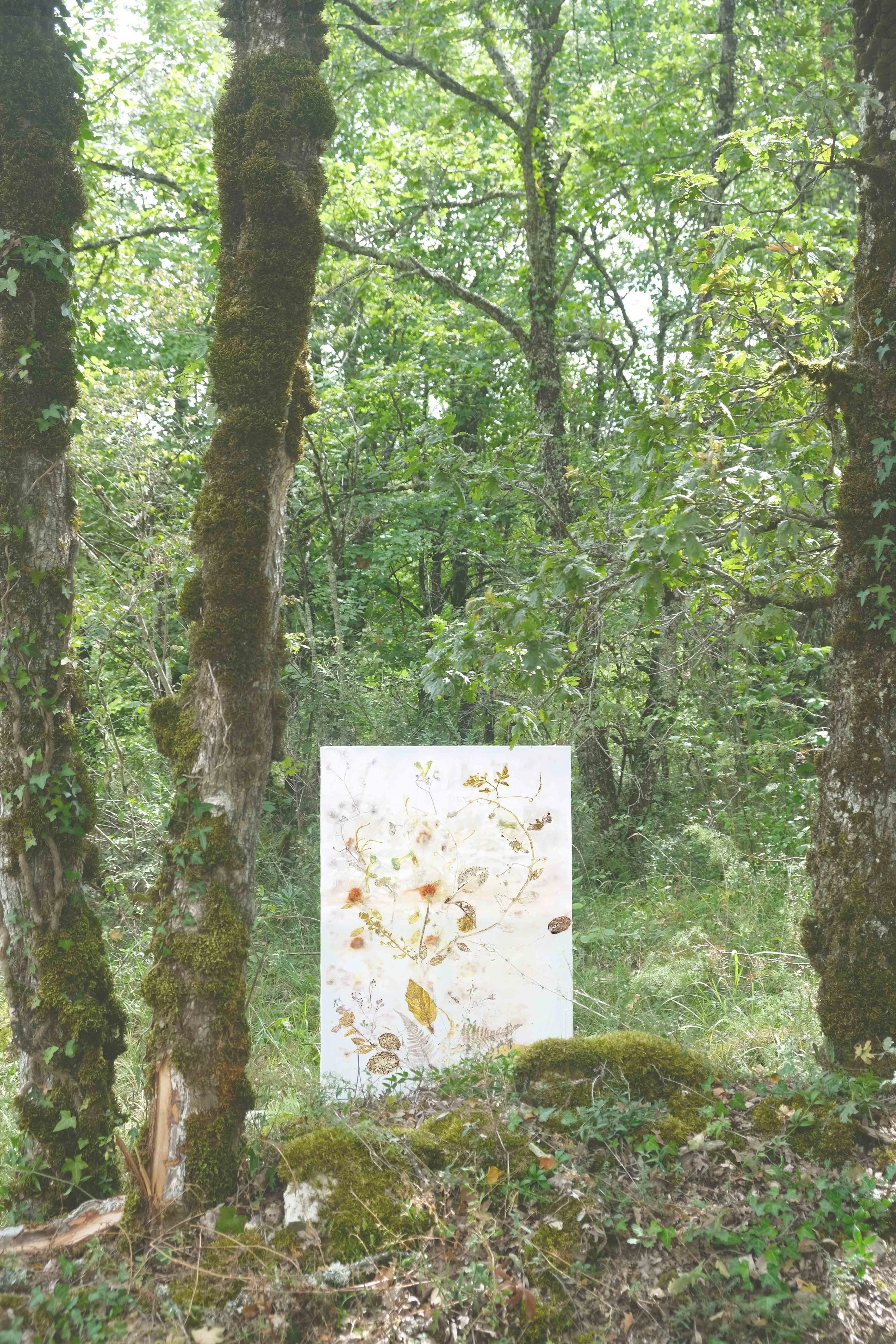
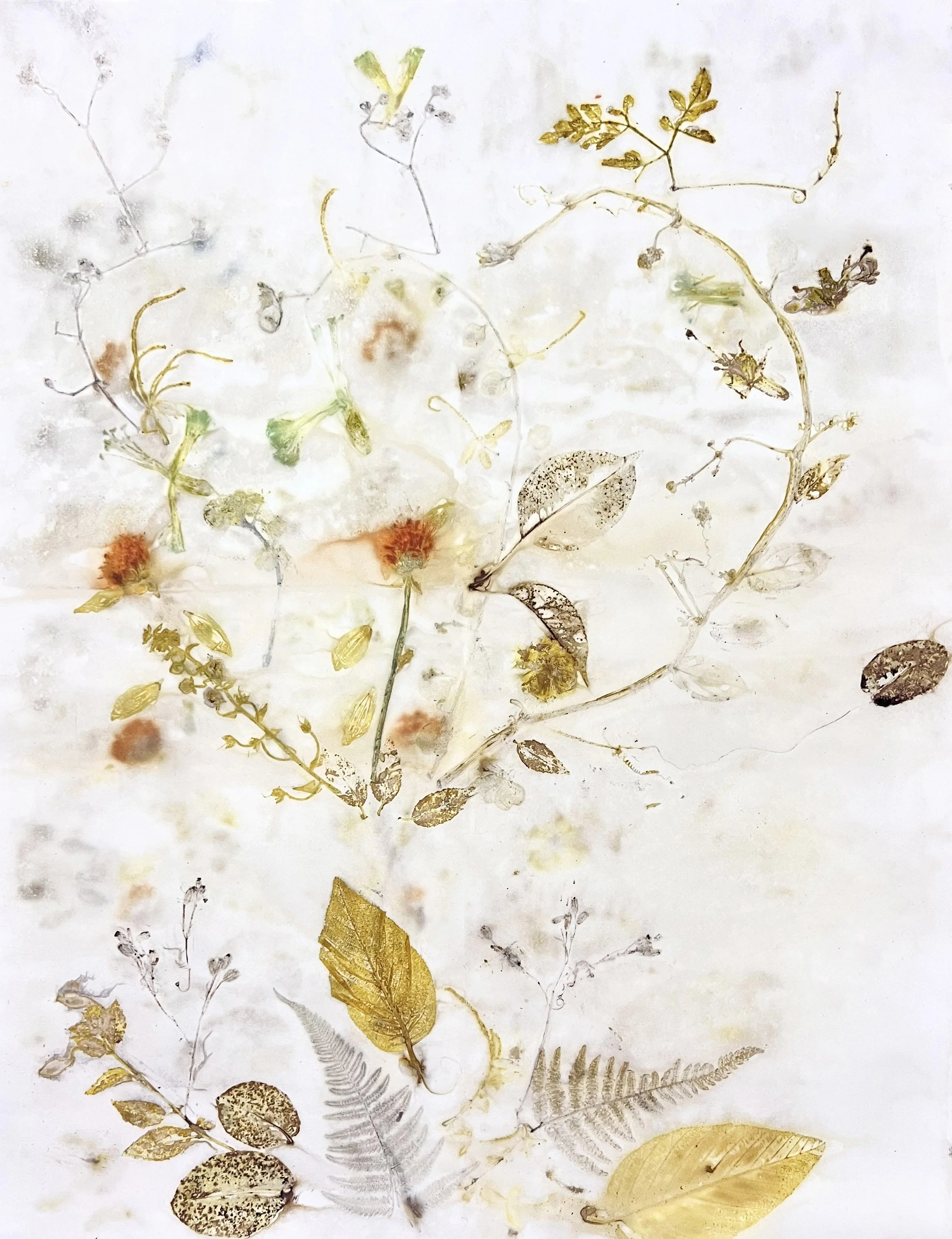
Developed through fieldwork in the Sacred Valley of the Andes, the work traces altitudinal shifts along the Urubamba River, engaging with plant matter, mineral salts, and river water as active agents in the formation of the image.
Through eco-printing processes, botanical and geological elements are embedded directly into the paper, allowing natural forces to inscribe the work. These cartographies remain open and provisional, reflecting the fluid boundaries of living systems.
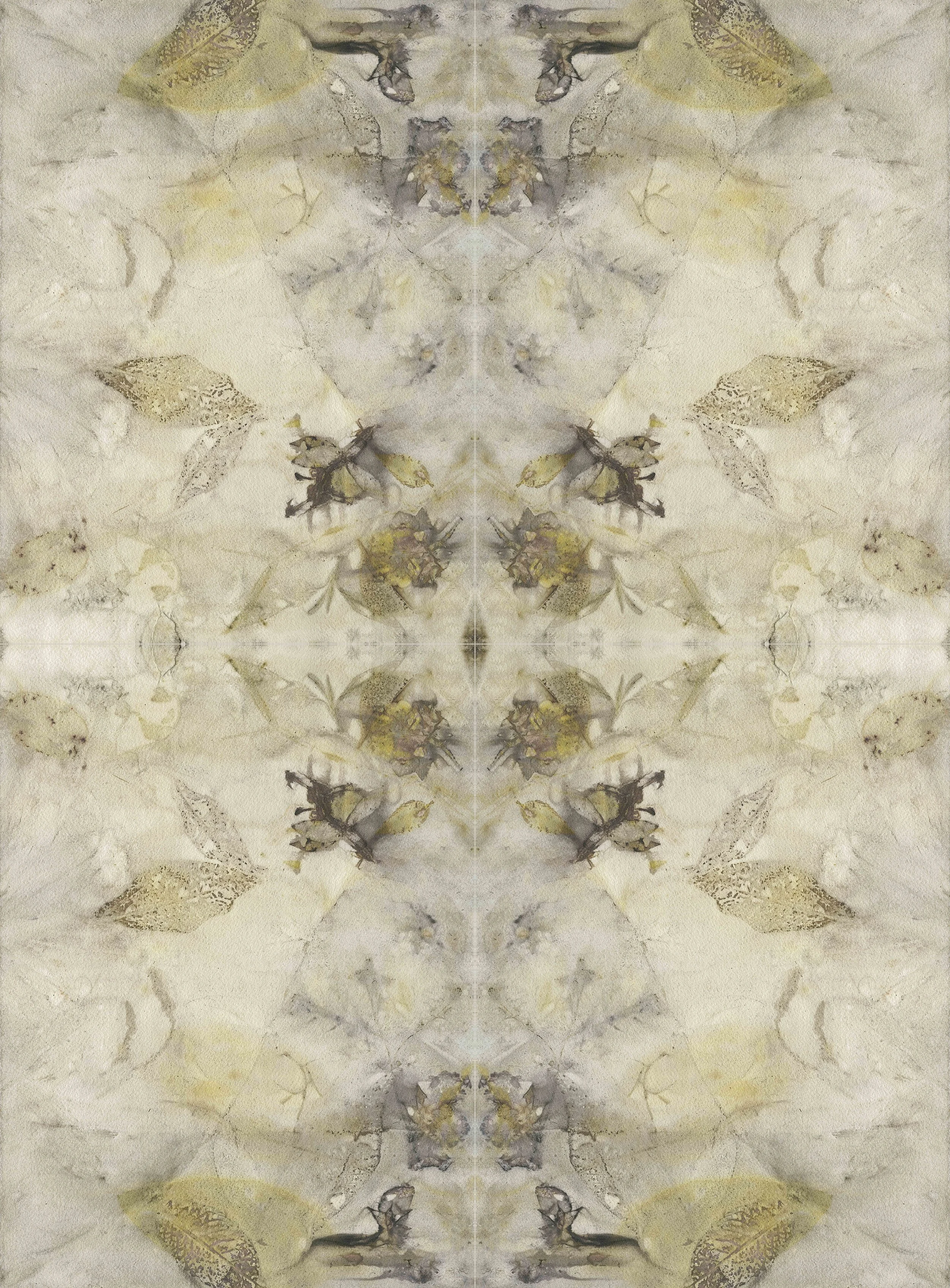
Foliage: Sacred Valley, Peru (1162–4200 a.m.s.l.)
Water: Urubamba River.
Minerals: Maras salt ponds.
Technique: Botanical dyeing on cotton paper, mordanted with Maras salt, boiled by immersion.
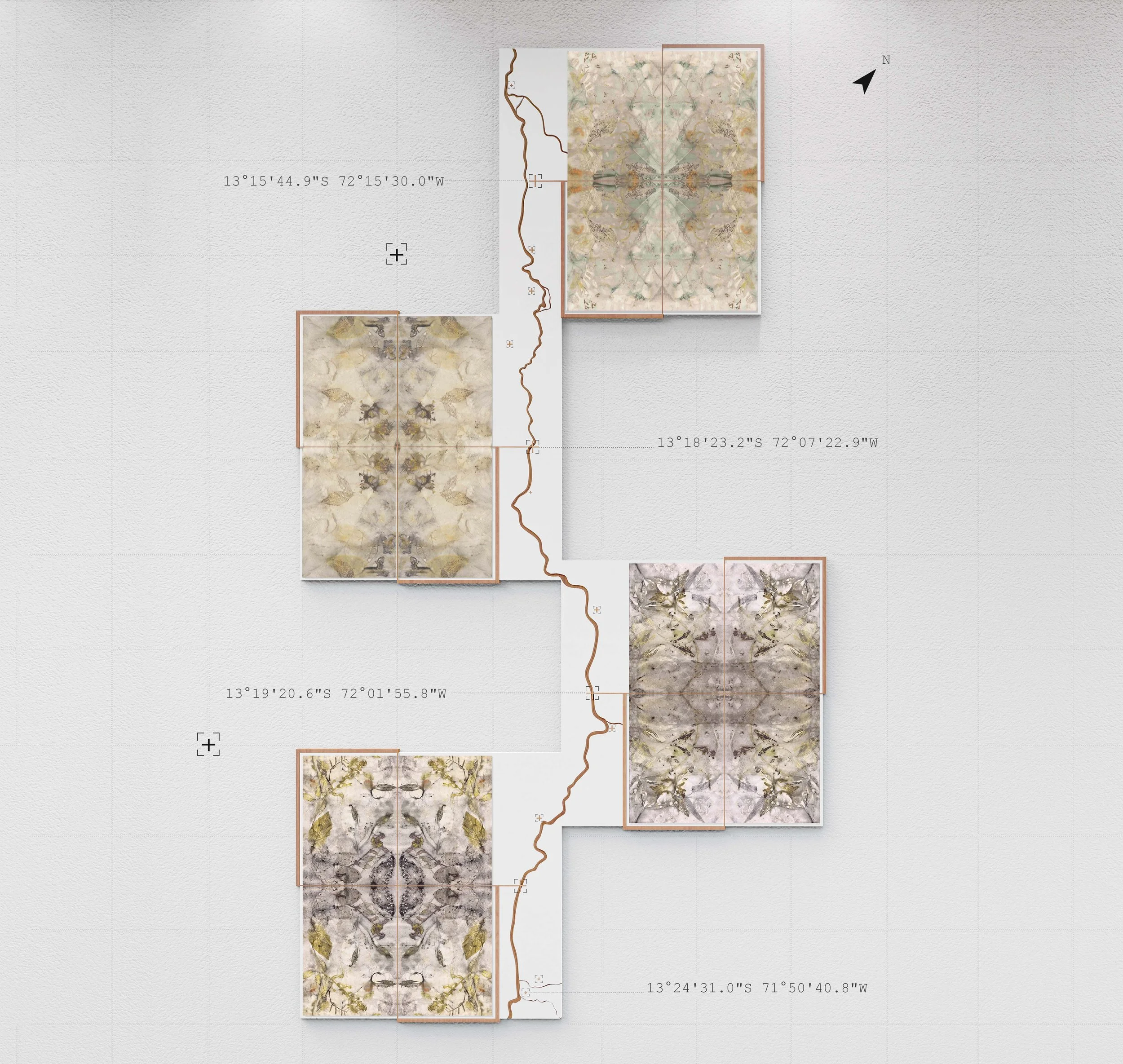
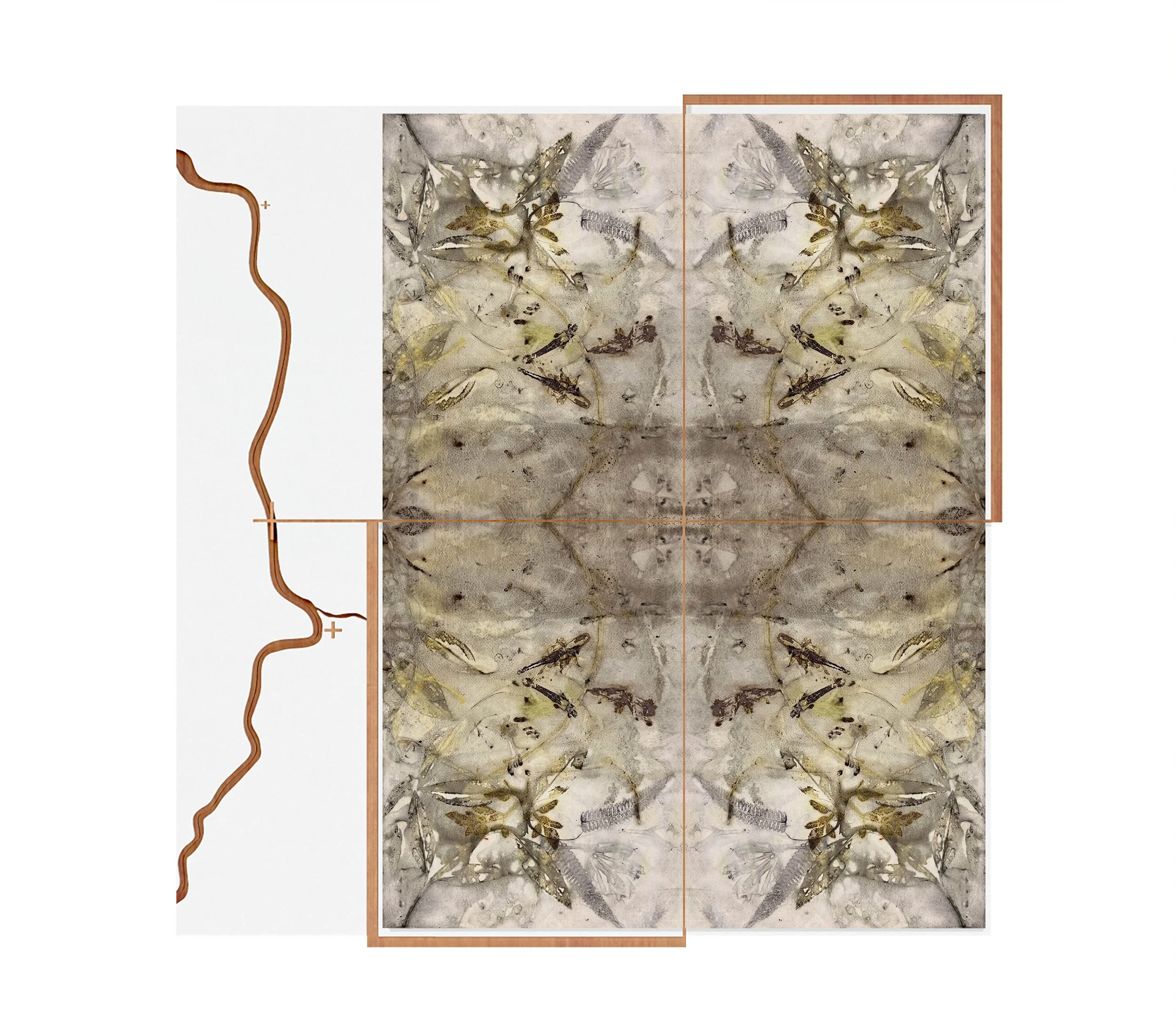
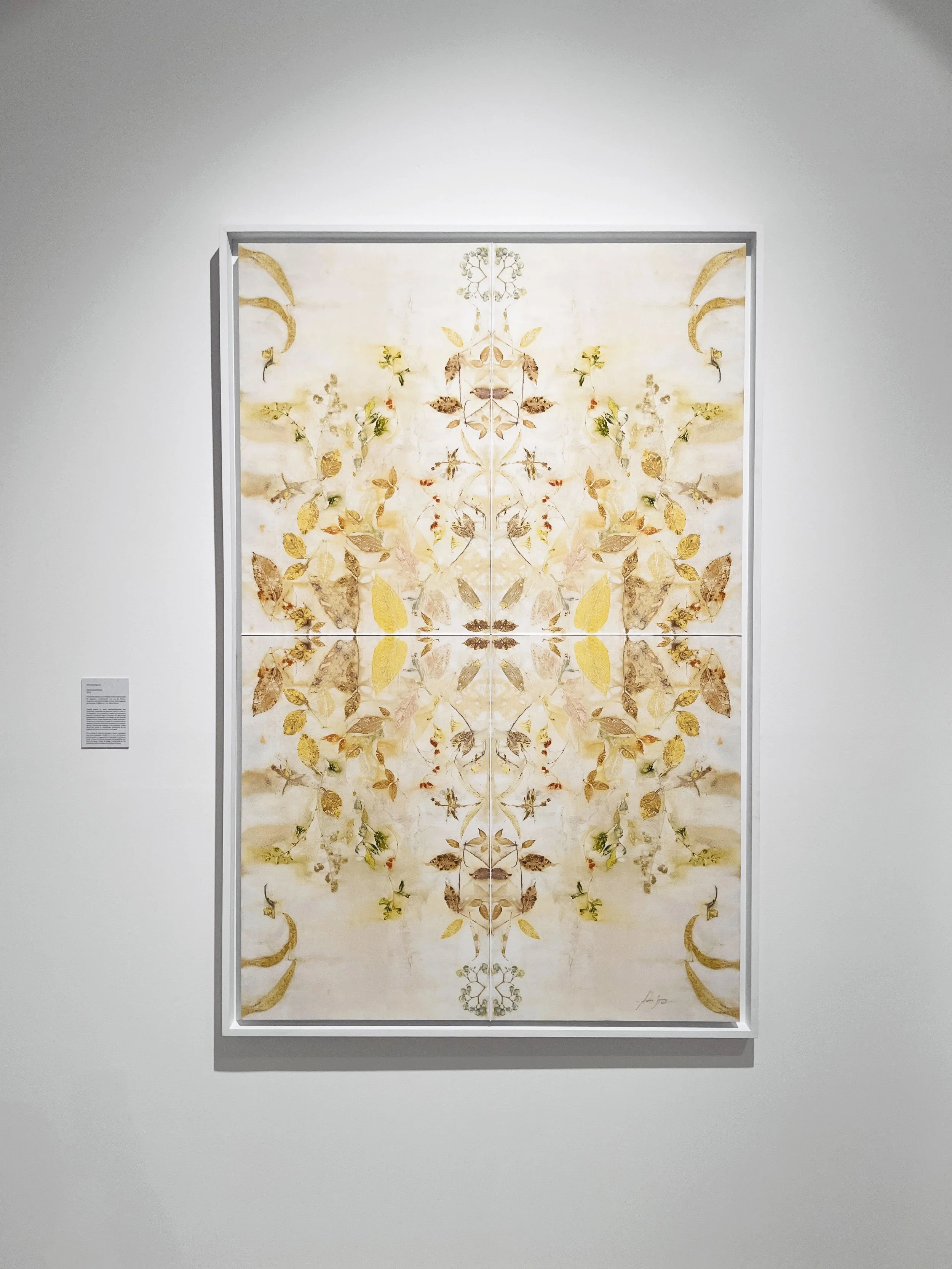
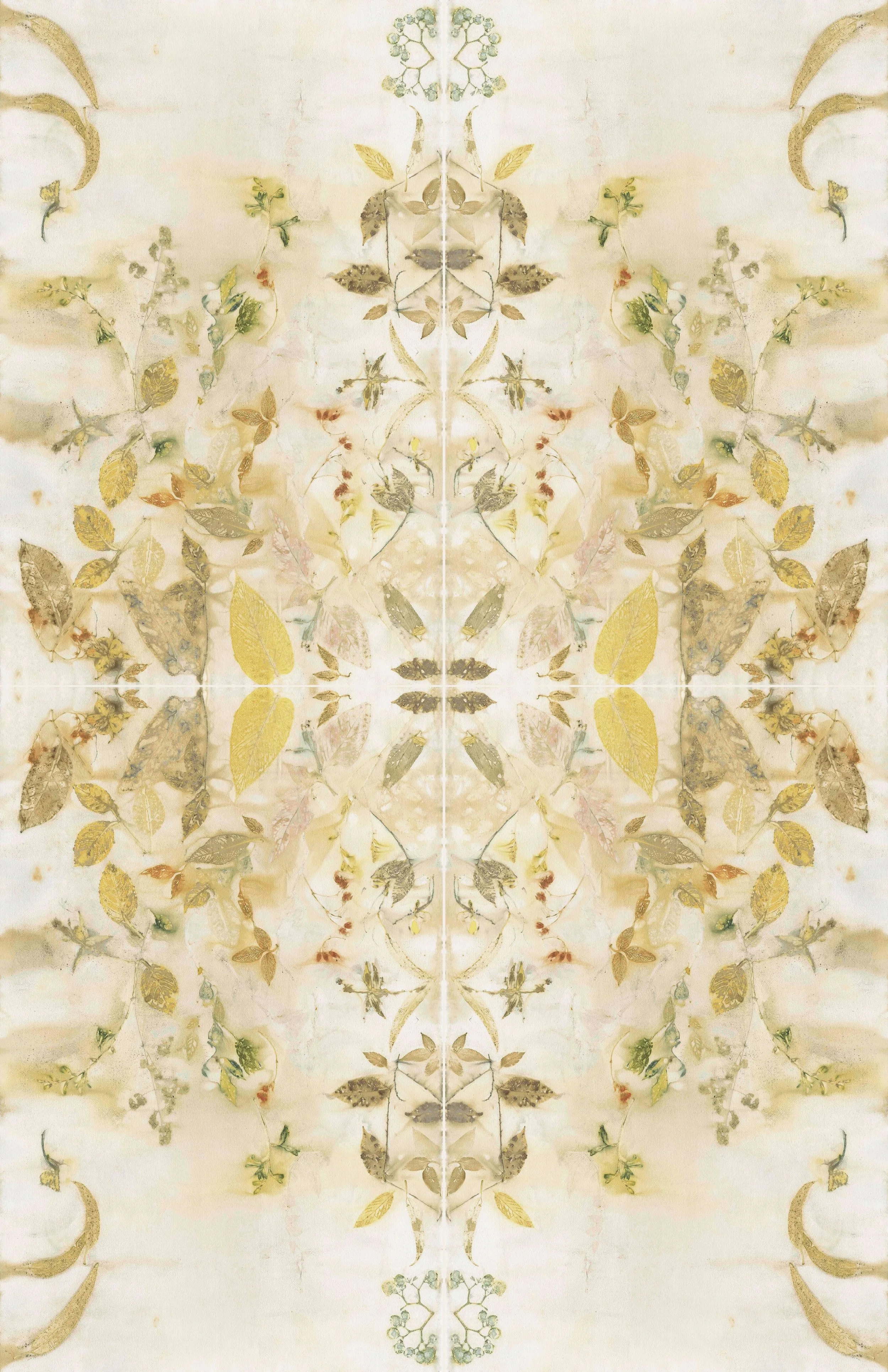
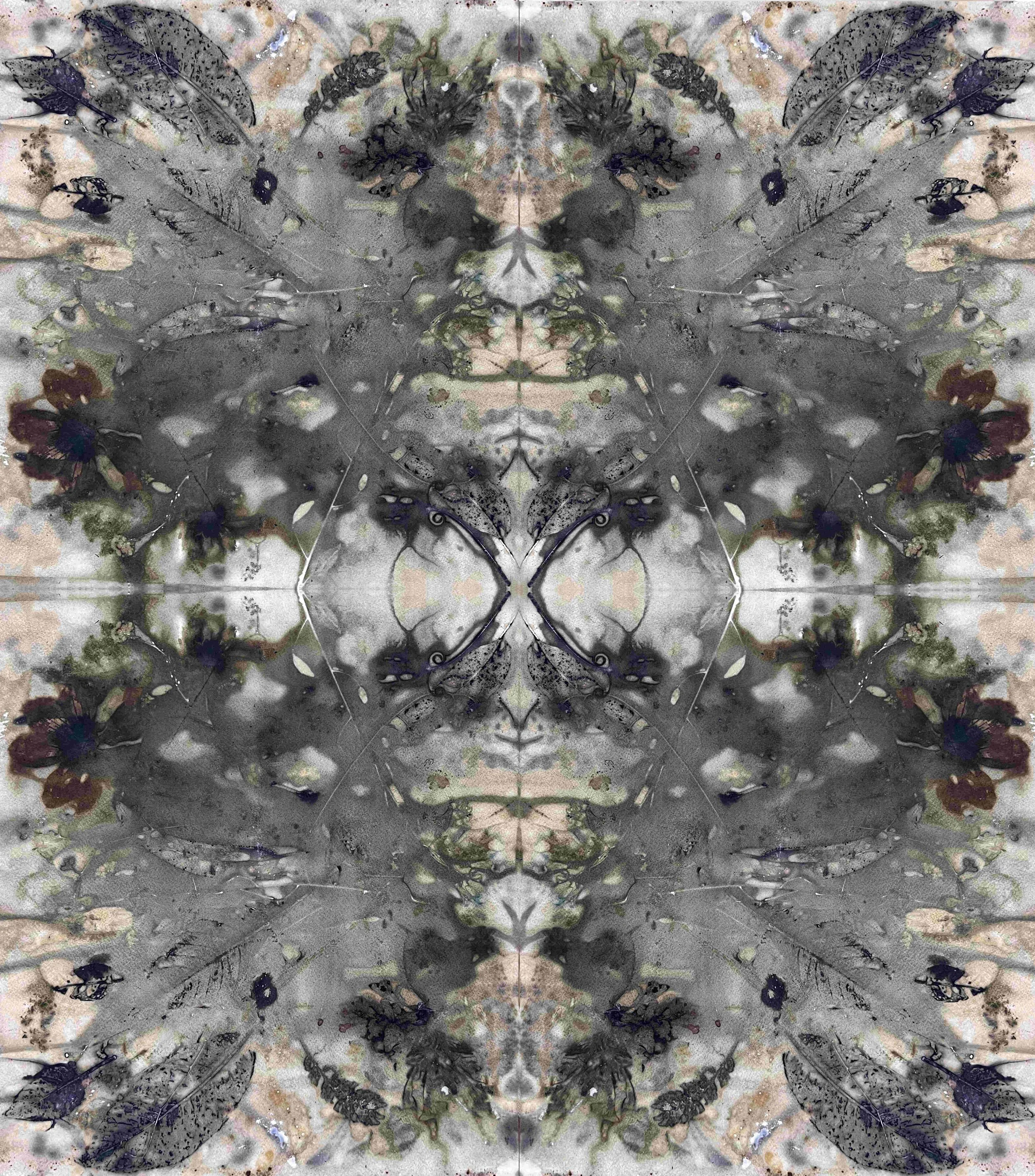
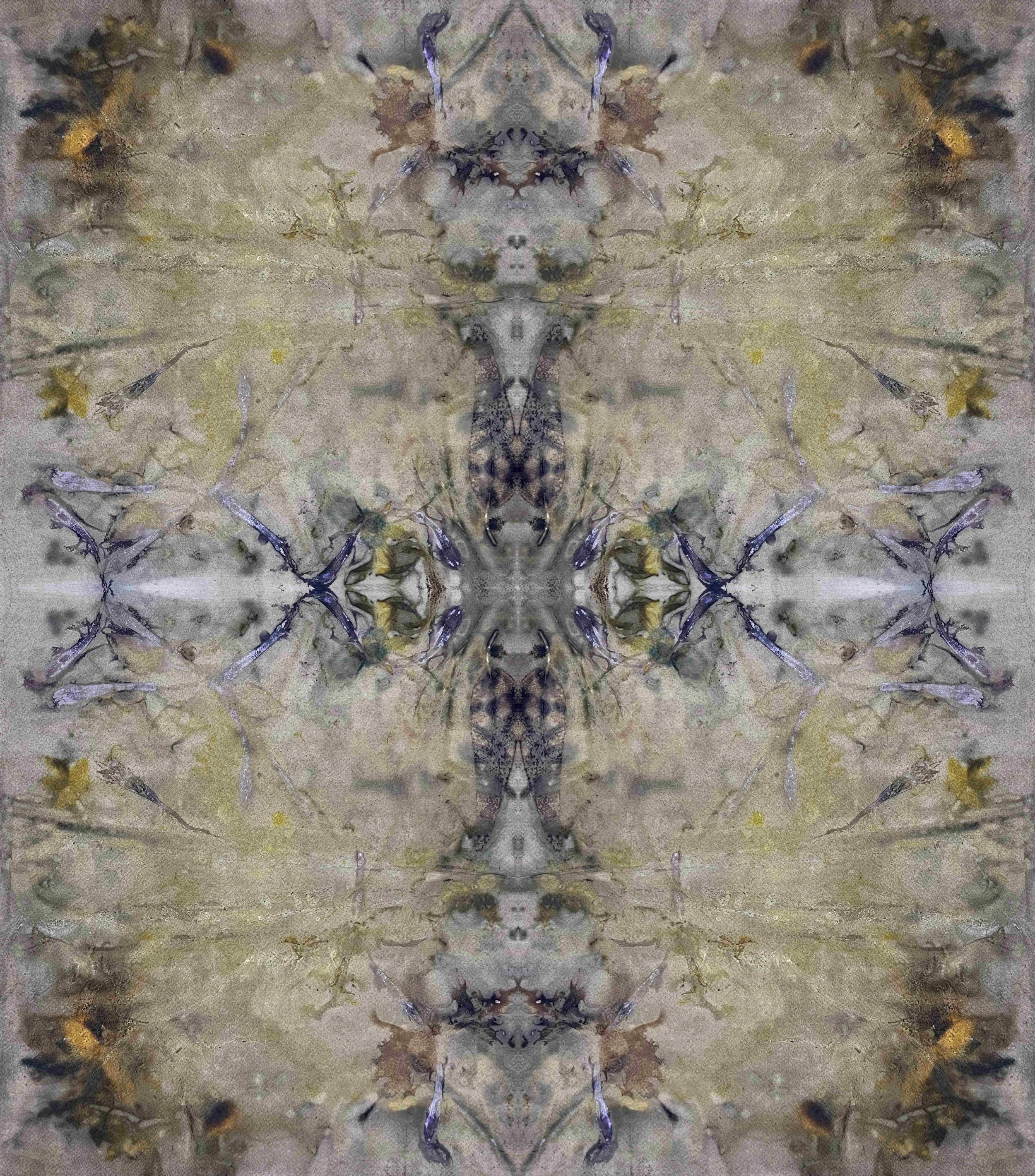
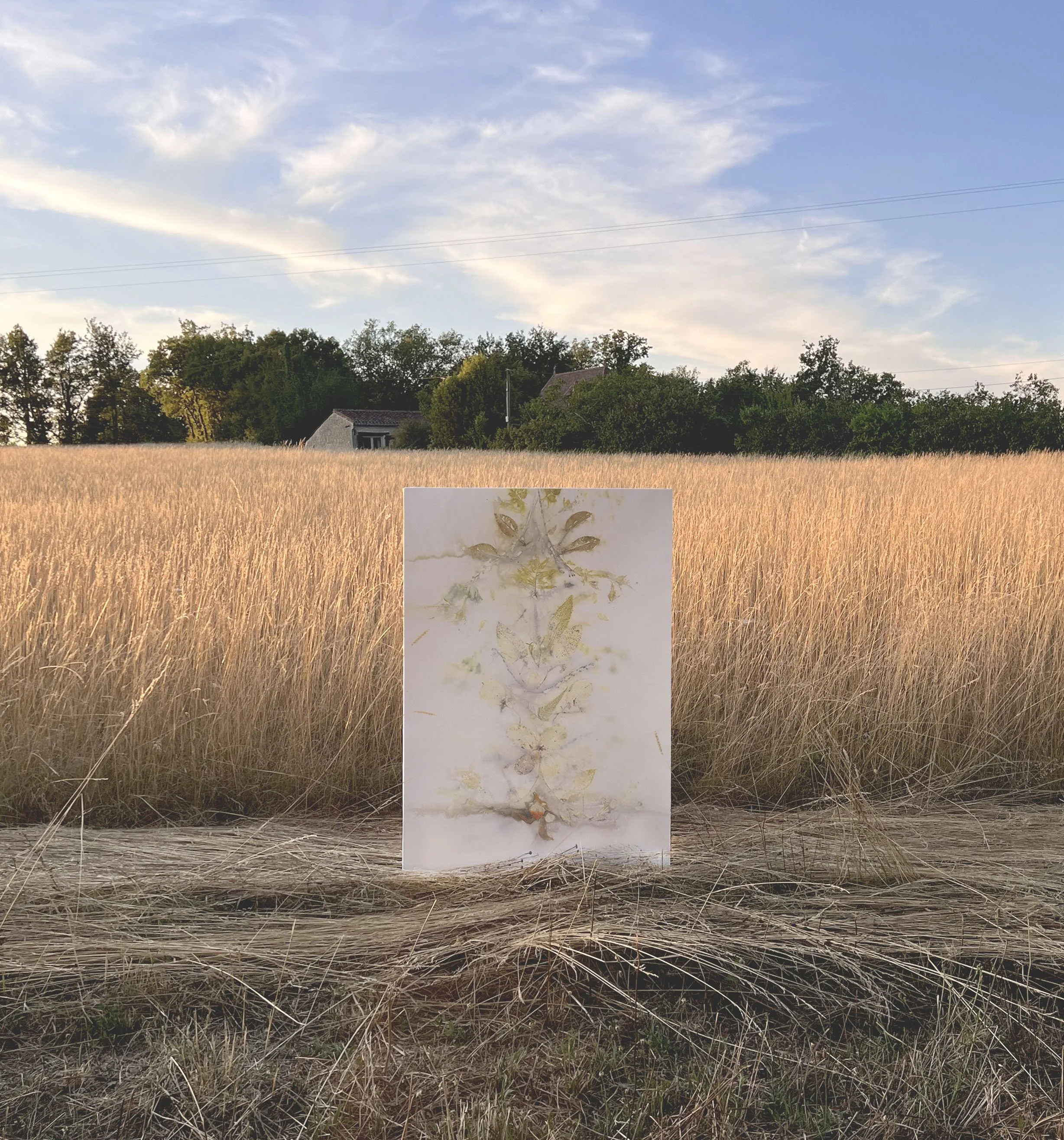
Deep rivers run quiet
-
2.80m x 1.33m
A modular installation of four individual pieces that, when assembled, map and embody the flow of the Urubamba River.
Shortlisted for the Royal Academy Summer exhibition 2026, UK.
On exhibition this September at the Geumgang Nature art Biennale 2026, South Korea.
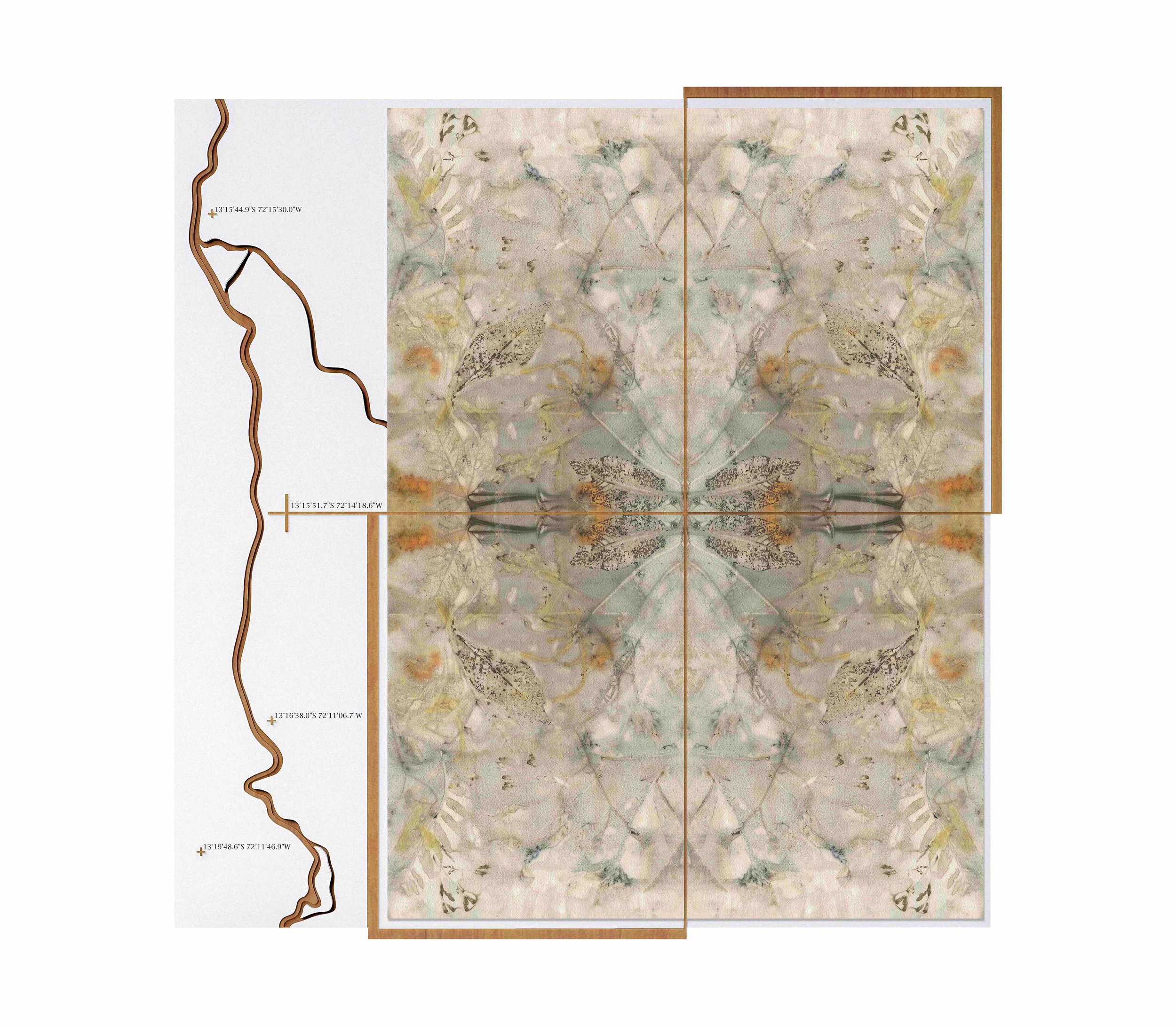
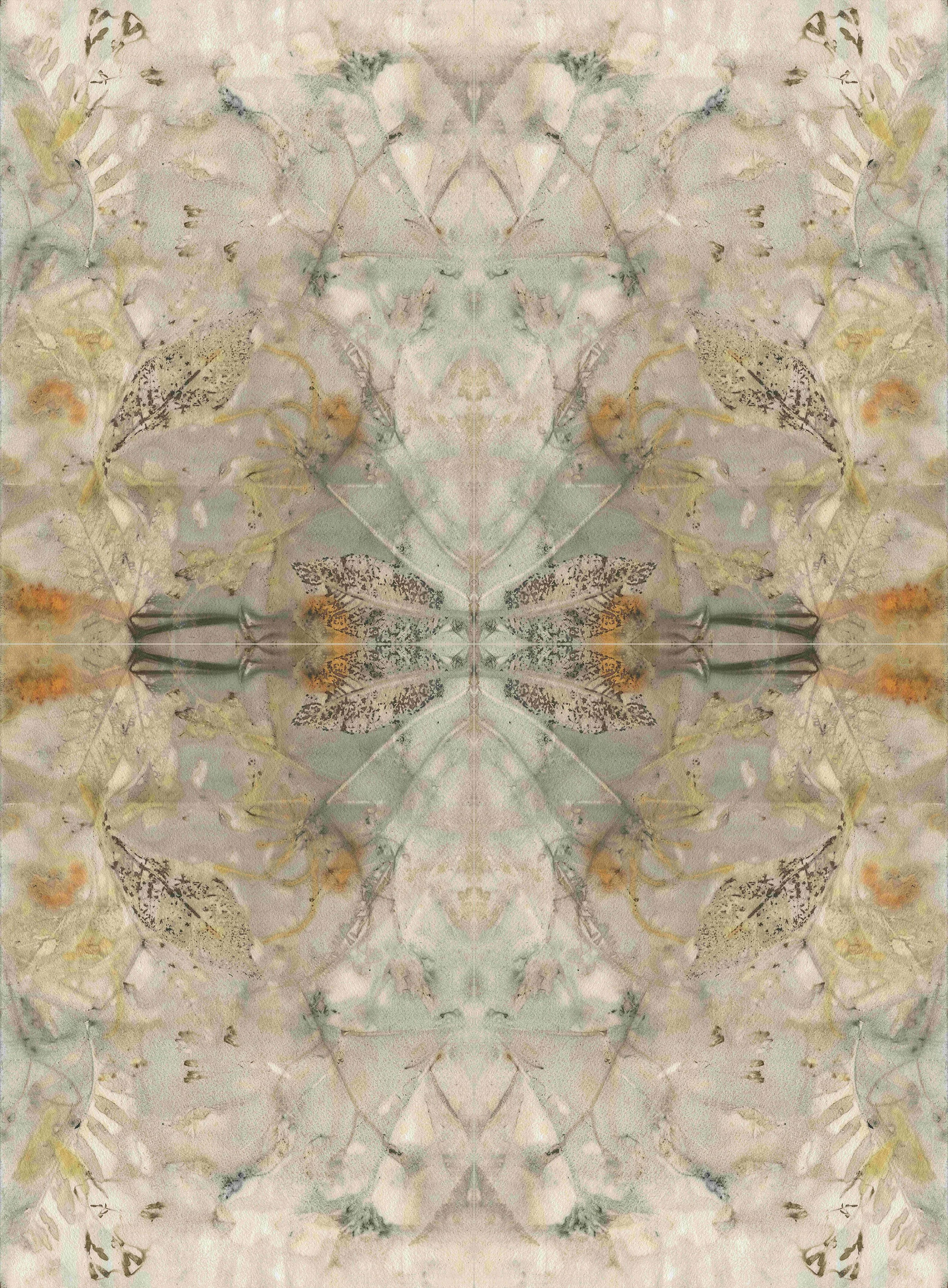
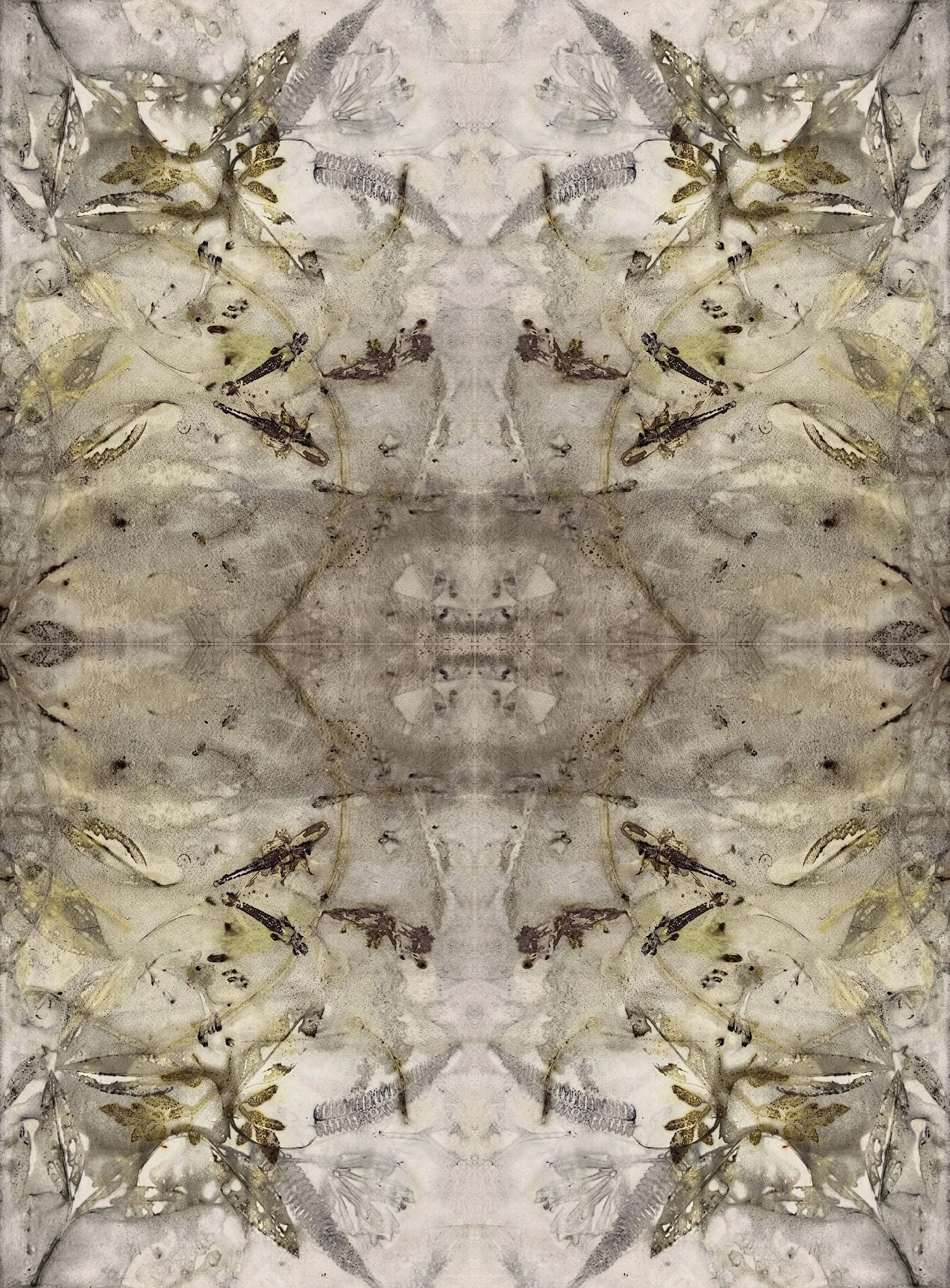
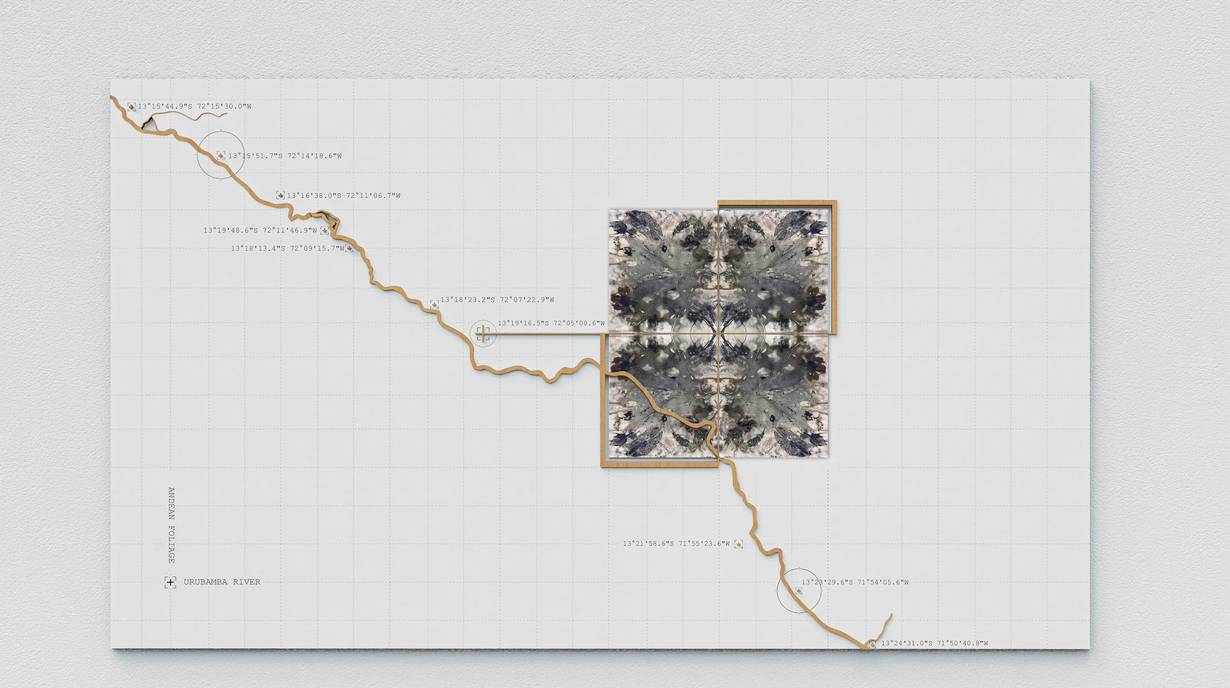
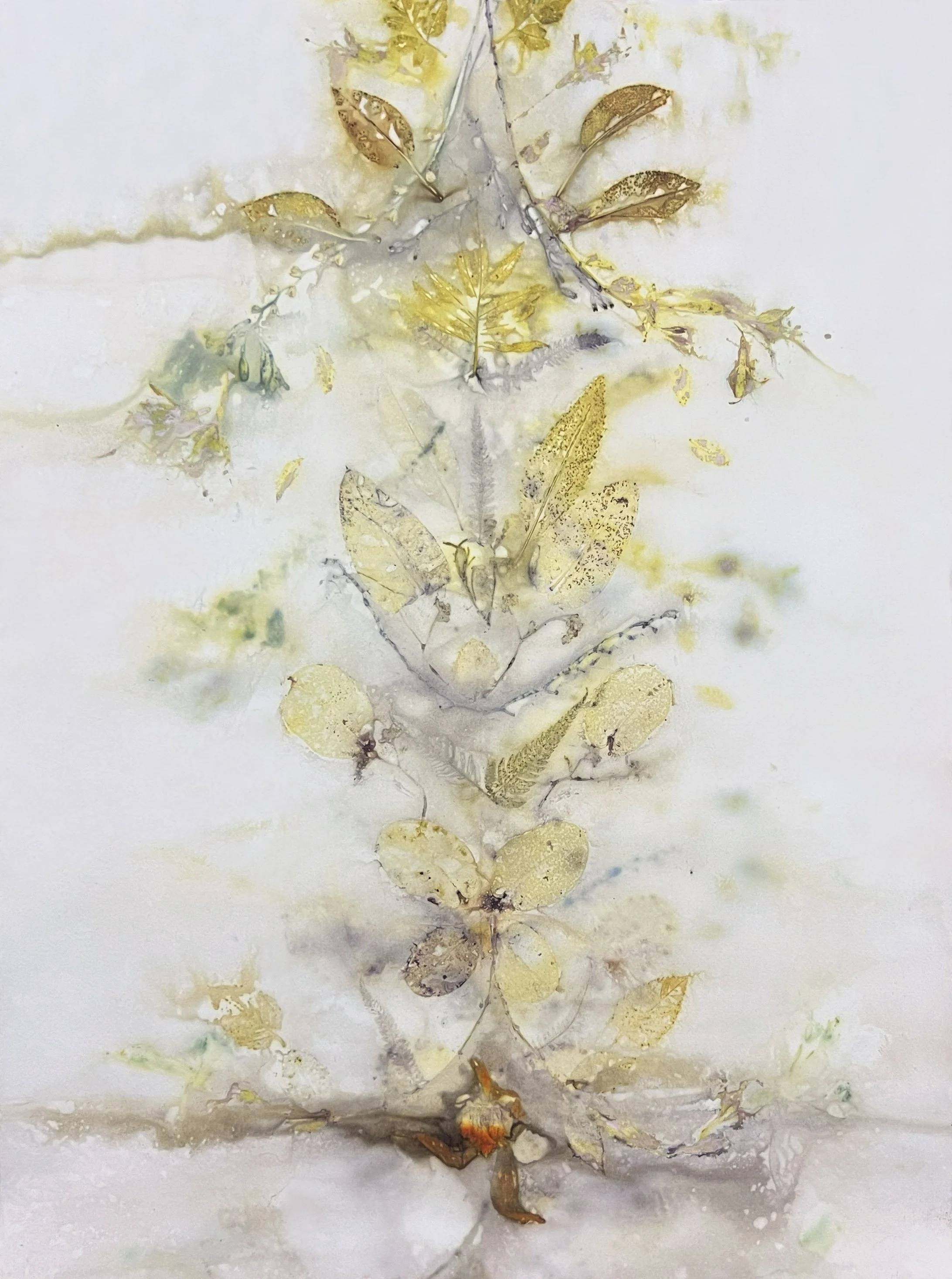
13°15'44.9"S 72°15'30.0"W
-
Size : 0.80m x 0.60m
Mixed media.
Material : 100% cotton paper.
Shortlisted for the Royal Academy Summer exhibition 2026, UK.
On exhibition this September at the Geumgang Nature art Biennale 2026, South Korea.
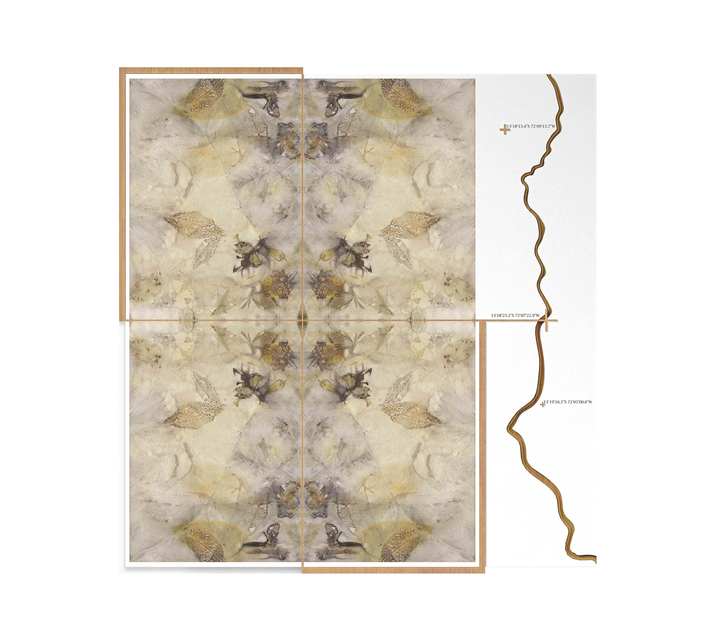
13°18'23.2"S 72°07'22.9"W
-
Size : 0.80m x 0.60m
Mixed media.
Material : 100% Cotton paper.
Shortlisted for the Royal Academy Summer exhibition 2026.
On exhibition this September at the Geumgang Nature art Biennale 2026, South Korea.
13°19'20.6"S 72°01'55.8"W
-
Size : 0.80m x 0.60m
Mixed media.
Material : 100% Cotton paper.
On exhibition this September at the Geumgang Nature art Biennale 2026, South Korea.
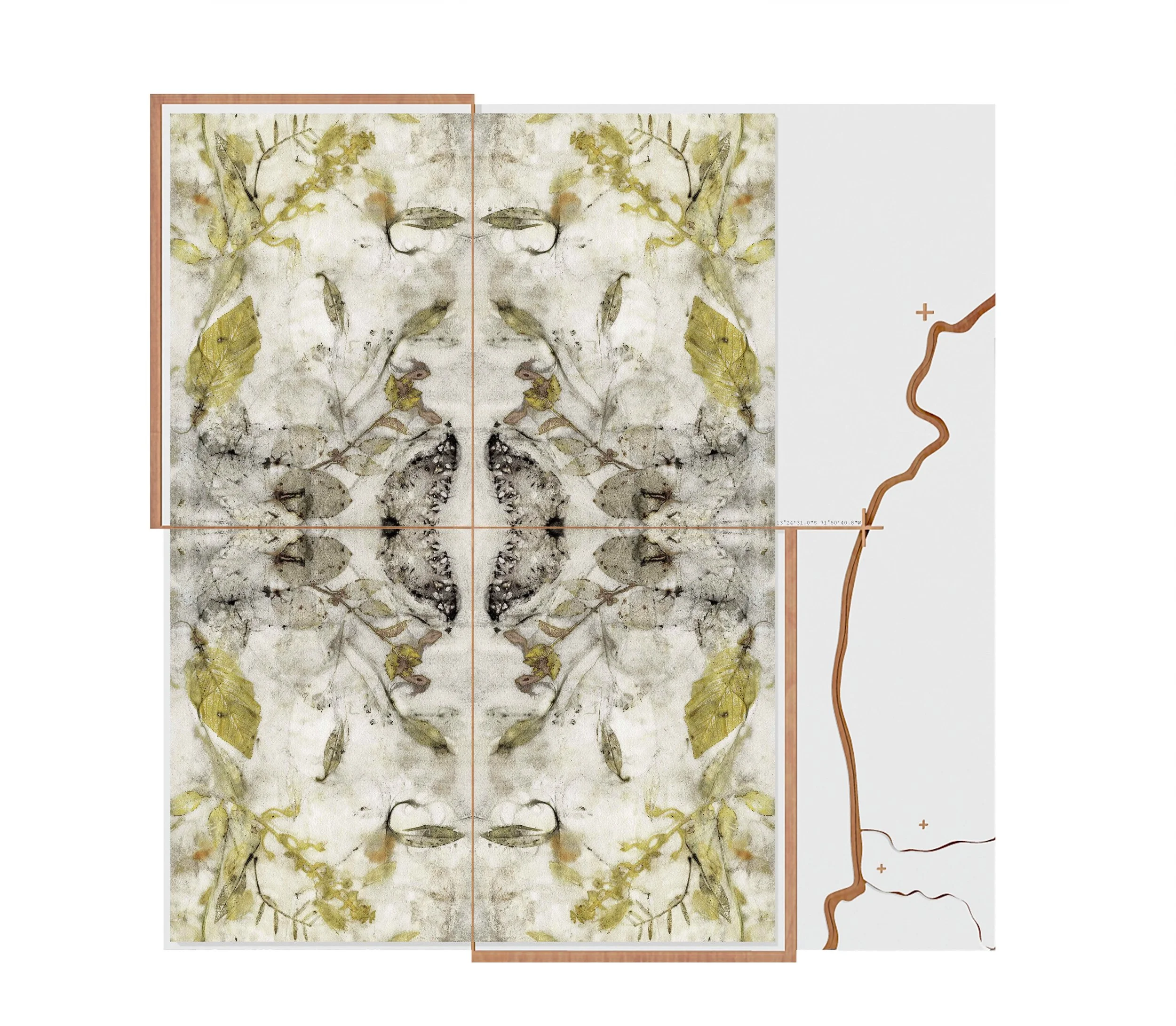
13°24'31.0"S 71°50'40.8"W
-
Size : 0.80m x 0.60m
Mixed media.
Material : 100% Cotton paper.
On exhibition this September at the Geumgang Nature art Biennale 2026, South Korea.
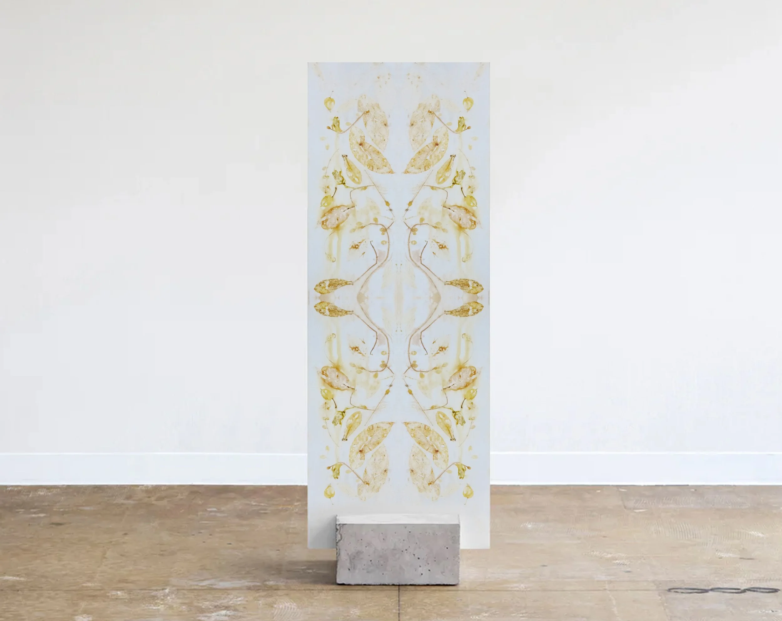
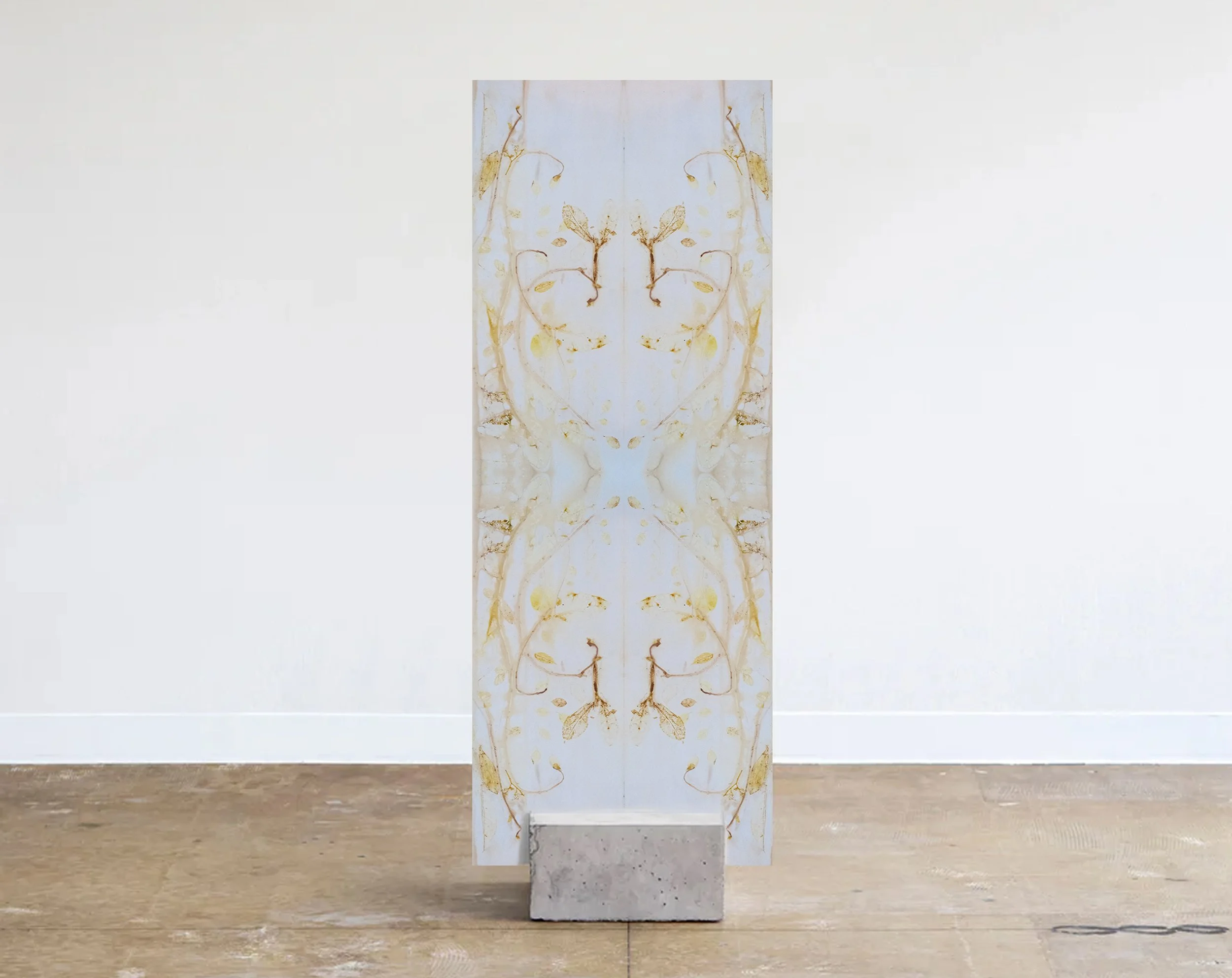
Dendritic spine
-
Size : 1.11m x 1.70m
Mixed media.
Material : 100% Cotton paper.
2026 - 27th International Open Exhibition
Woman Made Gallery, Chicago, USA.
Juried and curated by Nirma Raja.2025 - Finalist, 8th Contemporary Art Competition
ICPNA (Peruvian North American Cultural Centre), Lima, Peru.
Curated by Víctor Mejía.
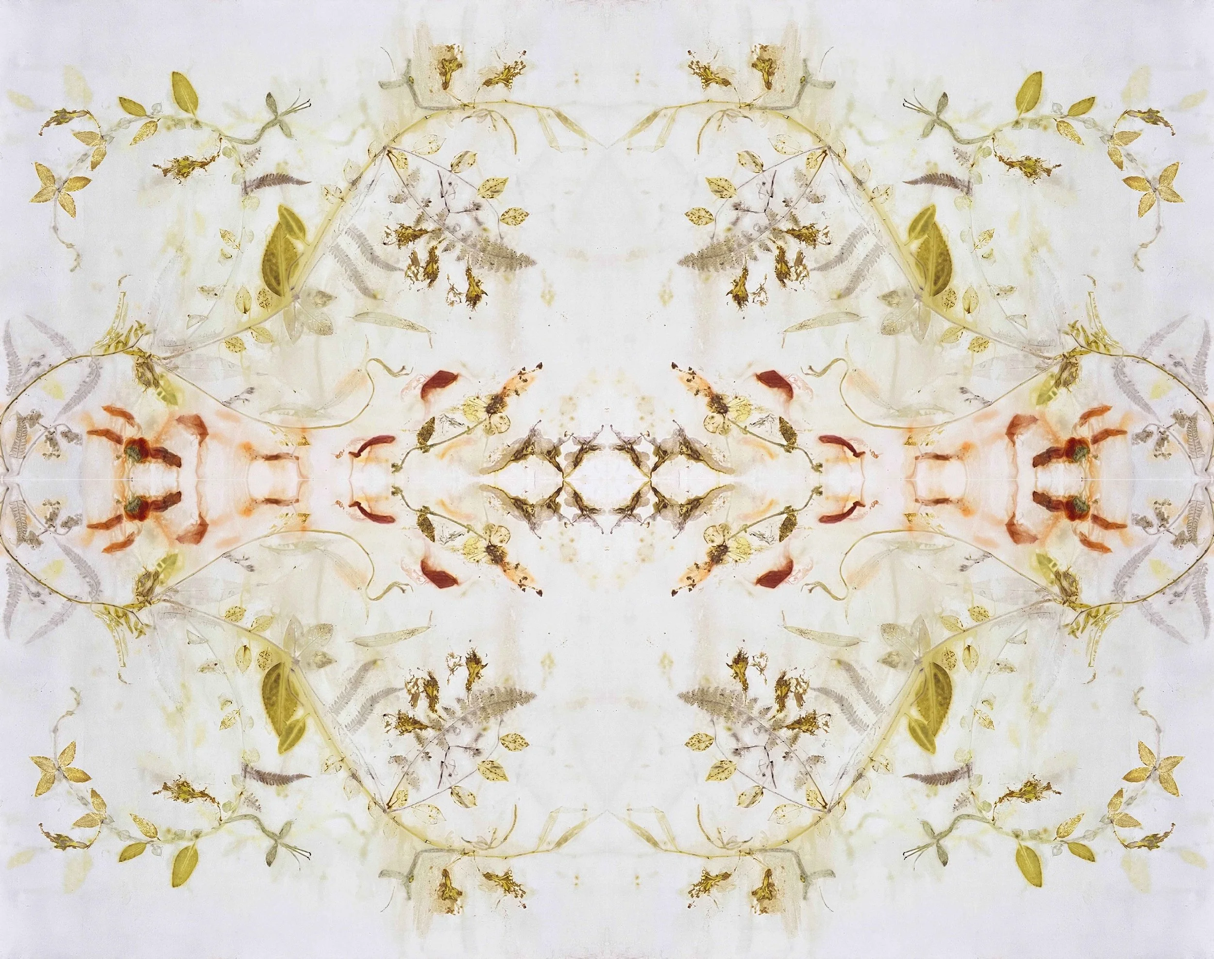
13°19'16.5"S 72°05'00.6"W - Urubamba River, Peru
-
Size : 1.11m x 1.70m
Mixed media.
Material : 100% Cotton paper.
13°19'16.5"S 72°05'00.6"W - AGUA
-
Size : 0.60m x 0.80m
Mixed media.
Material : 100% Cotton paper.
13°19'16.5"S 72°05'00.6"W - TIEMPO
-
Size : 0.60m x 0.80m
Mixed media.
Material : 100% Cotton paper.
Mycelial nebula
-
Size : 1.11m x 1.50m
Mixed media.
Material : 100% Cotton paper.
FRACTAL FREQUENCY
-
Size : 0.60m x 0.80m
Mixed media.
Material : 100% Cotton paper.
2025 - Open Exhibition
Pensynchant Conservation Centre, Wales, UK.
THE MARROW OF LIFE
-
Size : 0.60m x 0.80m
Mixed media.
Material : 100% Cotton paper.
Ancestral polymorphism
-
Size : 0.57m x 1.40m
Mixed media. Botanical dyeing with Peruvian native cacao leaves ( Cacao Chuncho).
Material : 100% Cotton paper.
Symbiotic Network
-
Size : 0.57m x 1.40m
Mixed media. Botanical dyeing with leaves of Peruvian Arabica coffee (Typica, Geisha, Bourbon).
Material : 100% Cotton paper.